Ideas For Backpacking Breakfasts
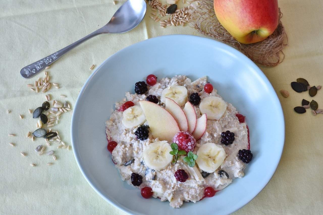
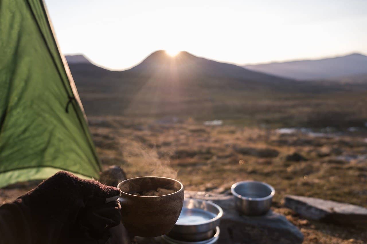
Need some inspiration for backpacking breakfasts for your next trip? Look no further! I’ve got healthy and practical ideas for you below 🙂 Having a
Need some inspiration for backpacking breakfasts for your next trip? Look no further! I’ve got healthy and practical ideas for you below 🙂 Having a
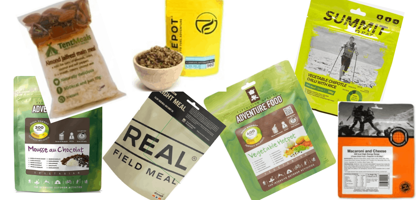
This article is for you if you are looking for resources on where to buy pre-prepared backpacking food in the UK. Of course, it isn’t
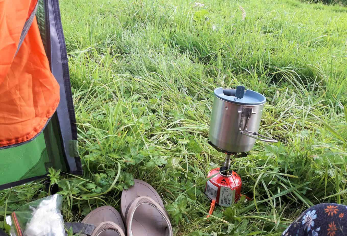
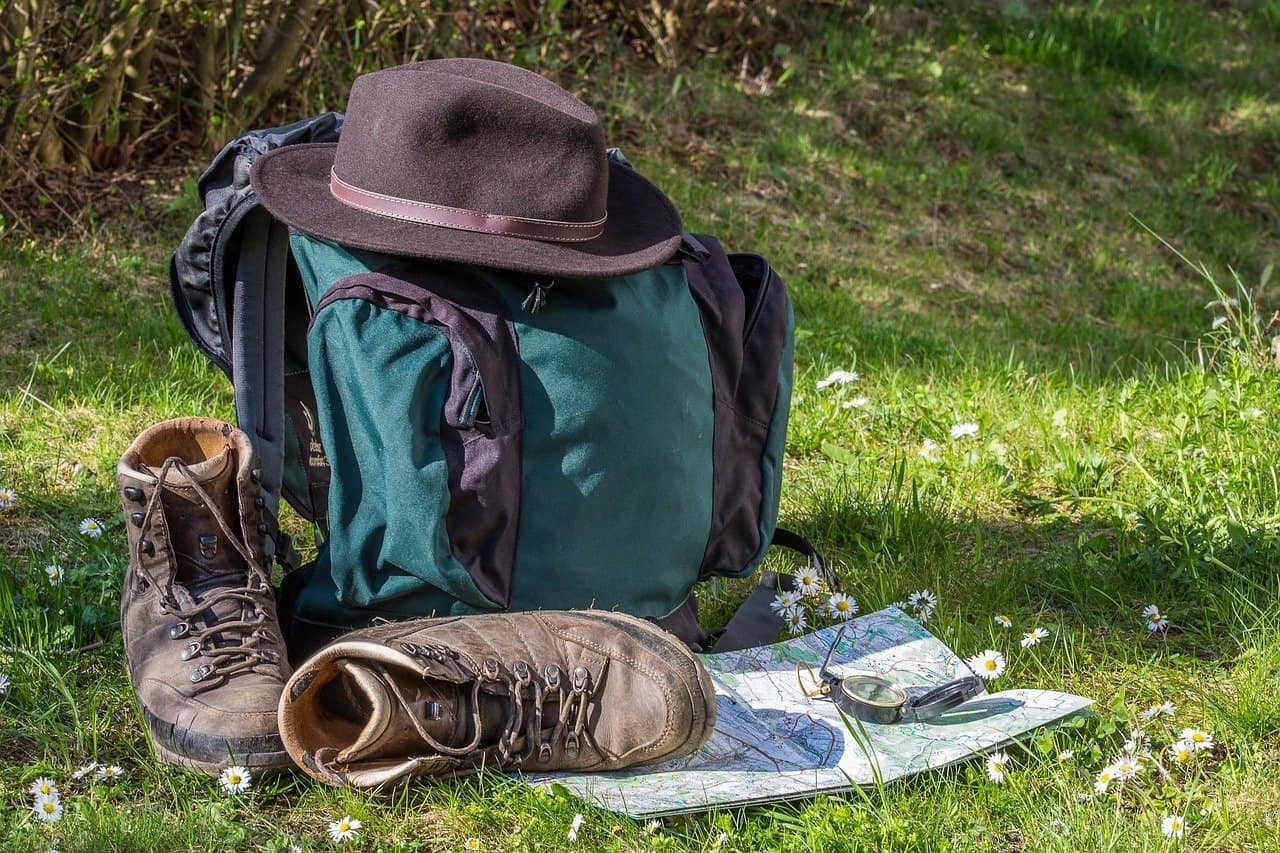
Ever wondered how people decide what to bring with them when planning food for their backpacking trip? In this blog I discuss the types of
Imagine this, you’ve organised a 5 day hike on one of your local trails. All of your gear is now gathered, and the only thing
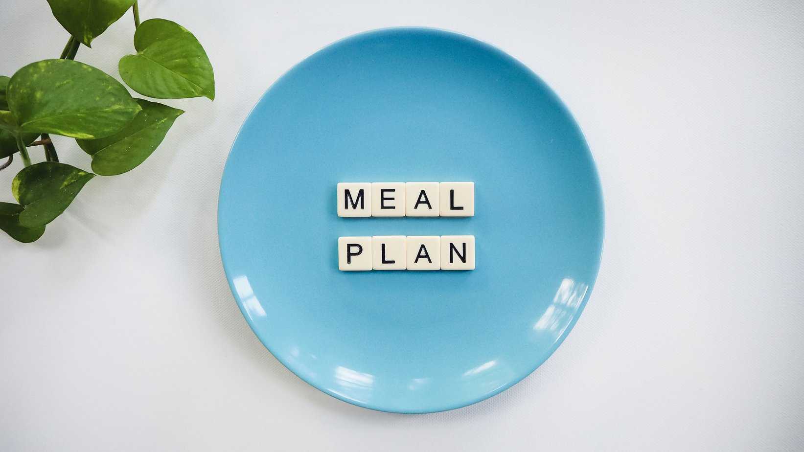
Read on to discover how to go about planning healthy meals for a multi-day backpacking trip. Having enjoyable food to eat while you’re out on
It’s a good idea to review each camping trip after you come back and make notes of what went well, and what, um, didn’t…at all!
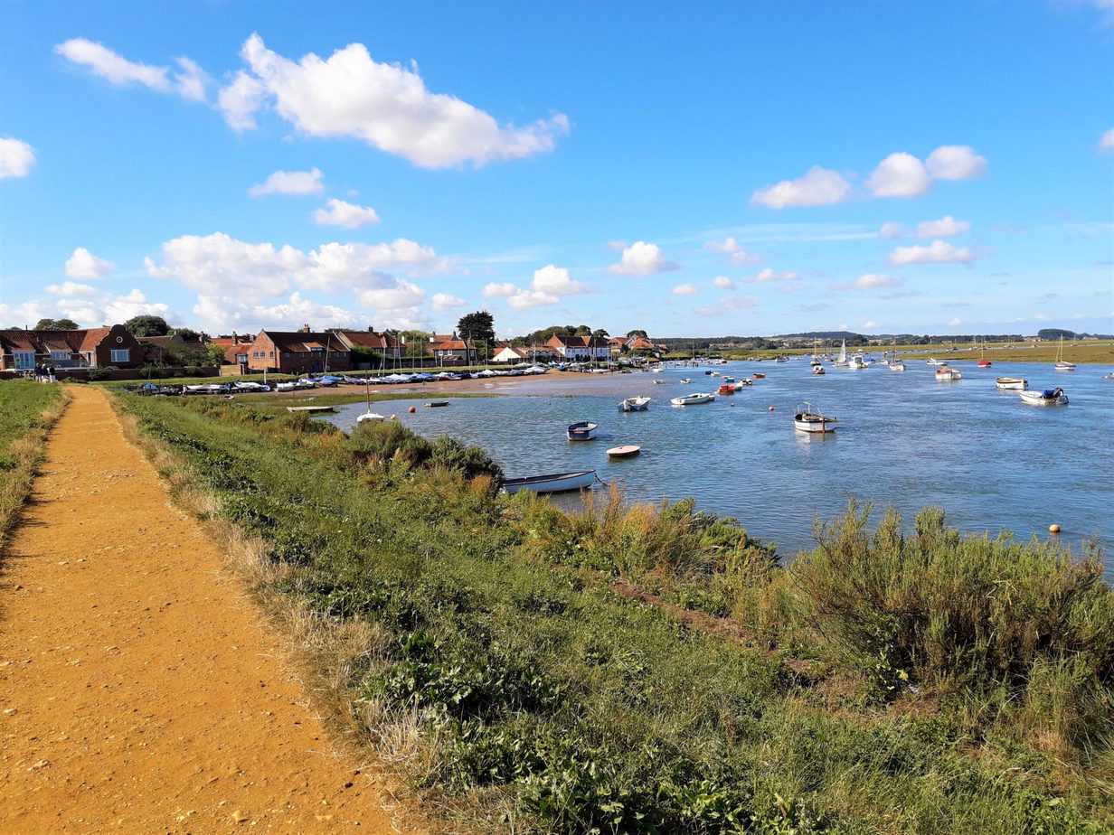
Day 3 of the Norfolk Coast Path section continues on beginning the day at Wells-next-the-sea. You can read days one and two by either clicking
You can read Day 1 here. I got up early and had a nice breakfast of overnight oats before packing my tent away. However, I
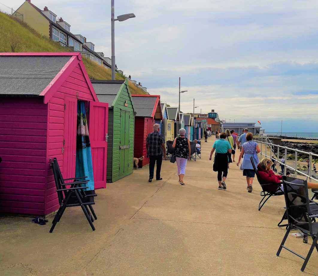
The Norfolk Coast Path officially opened in 1986 as a long-distance footpath from Hunstanton to Cromer. It is 47 miles/77 km and crosses beaches, dunes,
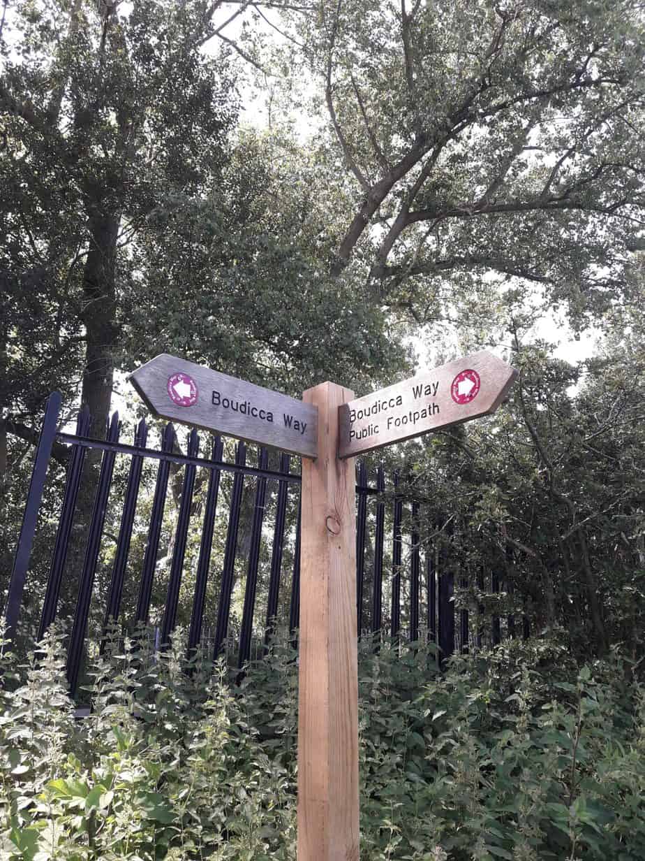
The Boudicca Way is a waymarked long distance national trail that runs between Norwich and Diss in Norfolk. It covers 36 miles/58 km through the
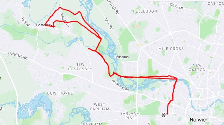
Join me on my first walk outside since being in isolation for 10 days over the Christmas holidays. I’m so excited to be back out
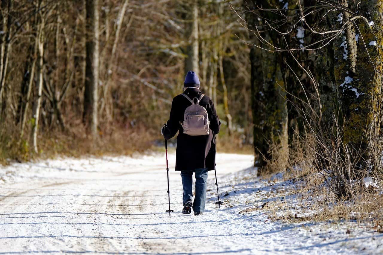
Do you find as I do that it’s easy to lose hiking fitness during the winter months? Cold, short days, bad weather and thought of